A strong El Nino has developed with sea surface temperature anomalies reaching 3C. This El Nino should persist, and possibly strengthen even further because subsurface water temperature anomalies are 6C at the 50-100 meter depth in the Eastern Pacific:
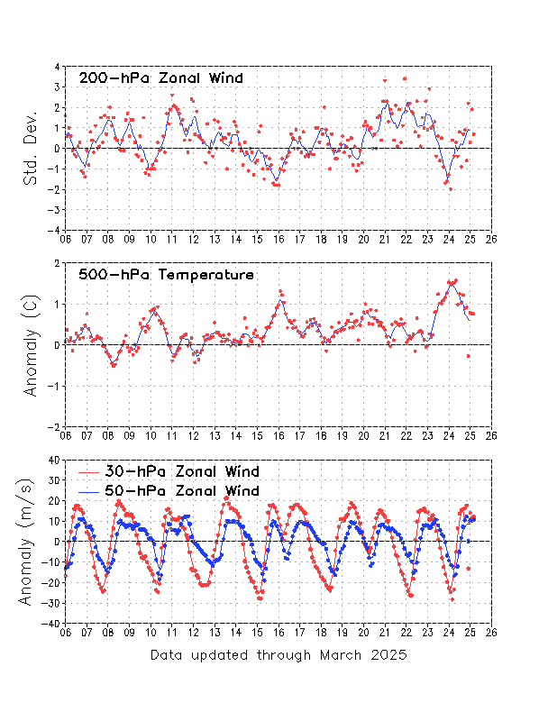
Impacts from this El Nino could include reduced Atlantic hurricane activity, and much needed rain in California. El Ninos, particularly strong ones, are usually associated with warm winters in the northern US, but some cold outbreaks may be possible this time, because of a
westerly QBO.
Theodor Landscheidt believed that ENSO events are correlated to solar subcycles which have enhanced x-ray flare activity. The Southern Oscillation Index (SOI) was used, because it changes before temperatures do. Significantly anomalous values in the SOI
go back to August of 2014. It was only in July 2015 that the SOI indicated a strong El Nino, but trade winds were weaker than normal (westerly anomalies, shown in red below) for many months before that:
X-ray flares did increase in August 2014 right when SOI indicated the beginnings of El Nino:
Don Easterbrook has noticed that El Ninos correlate to spikes in the AP index (indicates geomagnetic activity). In March, the AP index reached the highest value since September 2005:


No comments:
Post a Comment