Apr 16, 2013

February 2013

On February 1st, a 940 mb storm was located between Labrador and Greenland:
February was very active in the US. On February 8-9, this storm dumped 40 inches of snow on Hamden, CT, and hit Cuttyhunk, MA with 83 mph wind:


On February 8th, a 70+ knot easterly low level jet forced an intense band of snow to develop over Long Island:
Snowfall rates of 3-4 inches per hour were reported, with one report of 6 inches in one hour in Central Connecticut. Islip Airport reported 27.8" of snow and Upton 30.3". Boston had 24.9" of snow and a maximum wind of 76 mph. A record 31.9" fell at Portland, ME. Over 600,000 people lost power, and over 6,000 flights were cancelled. By the morning of February 9th, the storm had dropped to 970 mb about 200 miles east of Boston:
In the afternoon, the storm developed an eye:
On February 10th, just one day later, another storm ejected into the Midwest and hit Aberdeen, SD with 20.8" of snow and Hattiesburg, MS with a tornado:


The tornado produced EF-4 damage just west of Hattiesburg. 82 injuries were reported, but no fatalities. After looking at some new footage of the tornado, it is amazing that nobody was killed.

On February 17th, a polar air mass spread across Florida, producing a dewpoint of 7 at Daytona Beach and a temperature of 59 at Key West even during mid afternoon:
On February 21-22, this storm produced 22 inches of snow at Russell, KS and 3 inches of sleet at Fort Scott, KS:


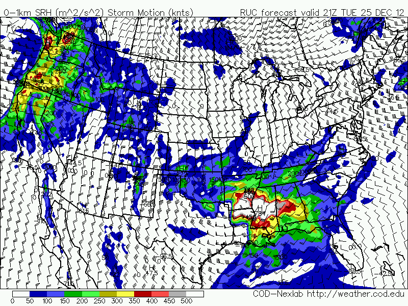
On February 25th, a blizzard warning (red) was issued for Lubbock, TX, and winter storm watches/warnings from New Mexico to Ohio:


Some of the highlights of this storm include 17" of snow at Amarillo, TX; 21" of snow at Follett, TX; 8.02" of rain at Valdosta, GA; and 84 mph wind at El Paso, TX.

January 2013

On December 29th, a 947 mb storm developed near Iceland:
On January 10th, Jerusalem was shut down by 8" of snow. It was their biggest snowstorm in decades.

In Russia, some cities were buries under 10 feet of snow. See the incredible pictures here.

On January 12th cold air intruded deep into the Desert Southwest:
Southern Arizona was still under a hard freeze warning on the 16th:
On January 15th, Tucson had a low of 17. Further east, ice storm warnings were issued from Louisiana to Tennessee, and winter weather advisories stretched from Texas to Maine.

A storm in the Northwest Pacific reached 932 mb on Janusry 15th:

The next day Buoy 46070 in the Bering Sea reported 35 foot waves and an altimeter pass indicated 41 foot waves near the Aleutian Islands.

On January 26th, a 930 mb storm was in the North Atlantic. The surface analysis and satellite image are from the exact same time:

On January 29th, an impressive trough dug into the Southern Plains and produced a tornado outbreak from the Mississippi and Ohio Valleys to the Southeast:


One fatality was reported in a mobile home from an EF-3 near Adairsville, GA.

Mar 23, 2013

Christmas Tornado Outbreak

On Christmas Day 2012, a storm with a surface low of 996 as far south as central Mississippi produced a tornado outbreak from Texas to Alabama.

 Numerous injuries were reported, but no fatalities. Mobile, Alabama was hit by an EF-2 tornado just 5 days after an EF-1 hit almost the same area. Track for the December 20th tornado:
Track for the Christmas tornado:
 Looking at the video of the Christmas Day Mobile tornado, it is surprising that it was only rated EF-2.

Water vapor and radar imagery of the storm:


Analysis charts for 21Z (3 PM) on Christmas (Mobile tornado was at 5 PM) show strong jet stream splitting at 250 mb, a 60 knot low level jet, dew points in the upper 60s, 2,000+ CAPE, and 300+ 0-1 km storm relative helicity over the Gulf Coast.


This same storm prompted blizzard warnings from Arkansas to Cleveland, and winter storm warnings from Texas to Maine:
8.5 inches of snow fell in Texas (De Kalb), 13 inches in Arkansas (Morrilton), and 27 inches in Vermont (Woodford). A snowfall map is available here.

Dec 21, 2012

North Atlantic Storm and Midwest Blizzard

On December 13th, this North Atlantic Storm dropped to 947 mb:

 According to ASCAT passes from 11-15Z Dec13th, this storm was producing gale force winds both on the coast of Spain and off the west coast of Greenland - about 2200 nautical miles away.

This winter storm has been affecting the central US over the past three days (Dec 19-21):

It has produced 20 inches of snow at 7 SW of Madison, WI, and a 100 mph wind gust at Gatlinburg, TN. EF1 tornadoes have been confirmed at Lavaca, AR, Sheridan, AR (several minor injuries reported), and Mobile, AL (several minor injuries and estimated millions of dollars of damage). Blizzard warnings (red) were issued from Colorado to Wisconsin:
The map above also shows the freeze warnings for Tucson, AZ and Bakersfield, CA, and frost advisory for San Diego, CA for the morning of December 20th. That morning the lows were 31 at Tucson, 28 at Bakersfield, 42 at San Diego Lindbergh International, 38 at San Diego Montgomery Field, and 35 at San Diego Mitscher Field. The blizzard warnings were later extended to Springfield and Decatur in Illinois:
The 982 mb low passed right over Chicago yesterday afternoon (Dec 20th):
Radar and Water vapor imagery: