Mar 4, 2014

Forecast Verification and Winter Storm Review

No tornadoes occurred in my outlooked area for March 2 because a rapidly moving arctic front undercut convection in Texas and Arkansas, and surface based convective initiation never occurred in northern Louisiana despite dew points reaching the upper 60s in the afternoon. Louisiana may have been too far ahead of the forcing associated with the main trough to the west.

This storm did produce 6" of sleet at Clarksville, TN and 0.50" of ice at New Lexington, OH and 0.5" of ice at Panther, WV. Snow amounts include:

6.1"     Hunter, OK 6.0 nne
6.5"     Pea Ridge, AR
8.5"     Anderson, MO 6.8 w
10.3"   Porter, IN
10"     Bruceton Mills, WV
10"     Cherry Grove, WV 6 wsw
9"       Manassas, VA
6"       American University, Washington DC
8.3"    Clarksburg, MD
7"       Ventnor City, NJ

This storm left the contiguous US 57.3% snow covered on March 3rd:

Mar 2, 2014

Winter Storm Today and Continuing Brutal Winter

A major winter storm is underway today from the Southern Plains to the Ohio Valley. Winter storm warnings were issued from Kansas and Oklahoma to New Jersey, and wind chill warnings were issued across the Northern Plains as another arctic air mass comes in:


The arctic air undercut warm, moist air in the Southern Plains today, resulting in temperature inversions over 20C in the 900-800 mb layer as seen in the Norman, Oklahoma sounding this morning:


This strong temperature inversion has allowed heavy freezing rain to fall in very cold temperatures. For example, Mountain Home, AR is now (9 PM CST) reporting freezing rain with a temperature of 14.

This same storm hit California (now suffering an exceptional drought) with 4 feet of high elevation snow (Volcanic Knob), 12.44" of rain at Greenfield, 4.09" of rain at Los Angeles - USC, a 91 mph wind gust at Mount Wilson, and a 102 mph wind gust at Big Bear Lake.

This has been an extremely cold winter with repeated arctic outbreaks for the eastern two-thirds of the US. Temperatures have been as much as 9 degrees below normal in the Upper Mississippi Valley during meteorological winter (Dec thru Feb), and 12 degrees below normal for February:

Chicago has had the third coldest and third snowiest meteorological winter on record. The Great Lakes are now almost completely ice covered:

Mar 1, 2014

Tornado Outlook Mar 1 2014

Shifted slightly northeastward since the previous forecast.

Dan's Photos of the Washington Tornado

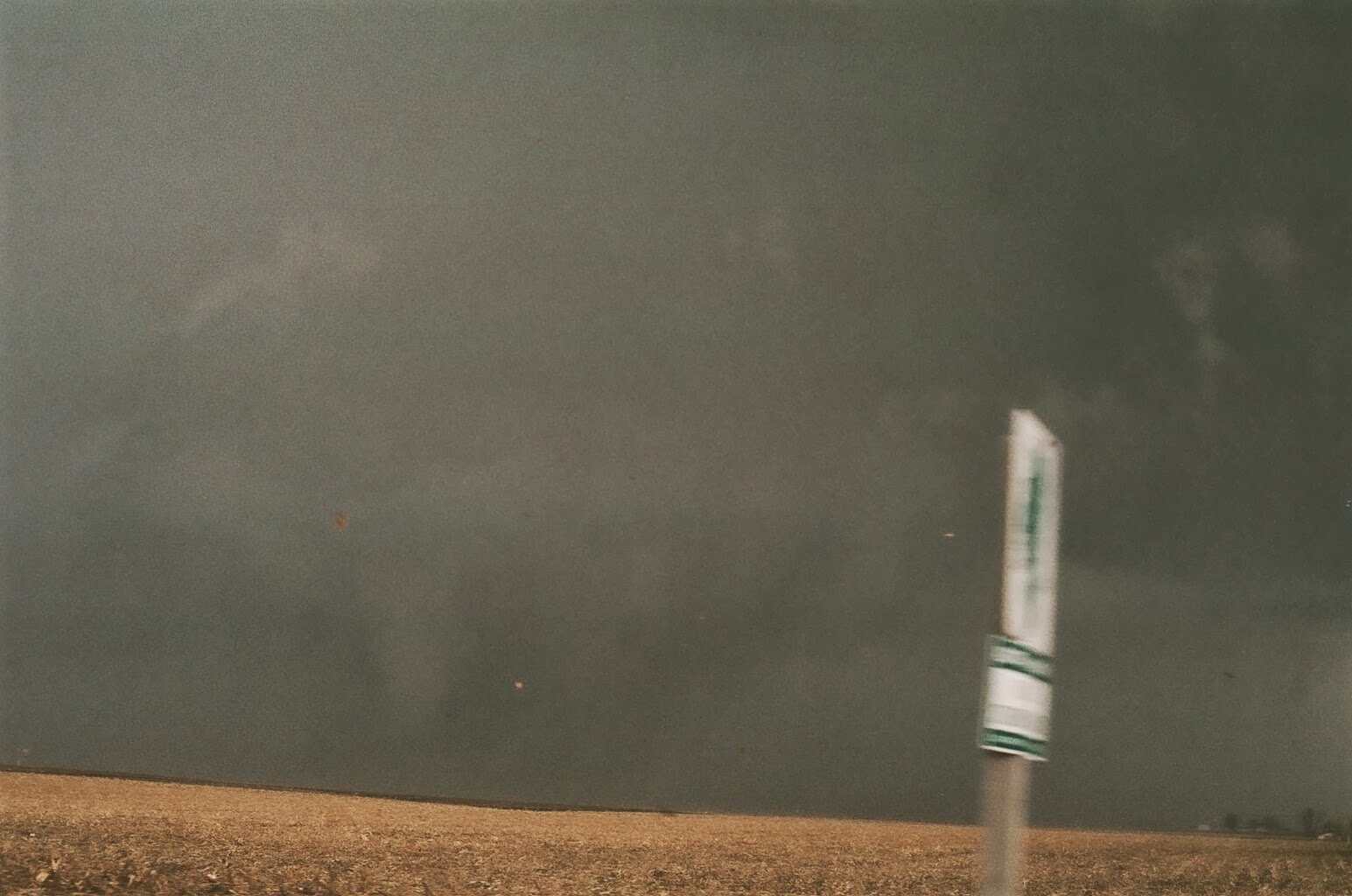
Dan's shots of the Washington tornado storm from near Benson, IL on Nov 17 2013:


Feb 26, 2014

Tornado Outlook Feb 26 2014

The threat of strong tornadoes should be low this time.

Feb 24, 2014

13 Years of Storm Chasing

Some scenes from storm chases from 2000-2013.